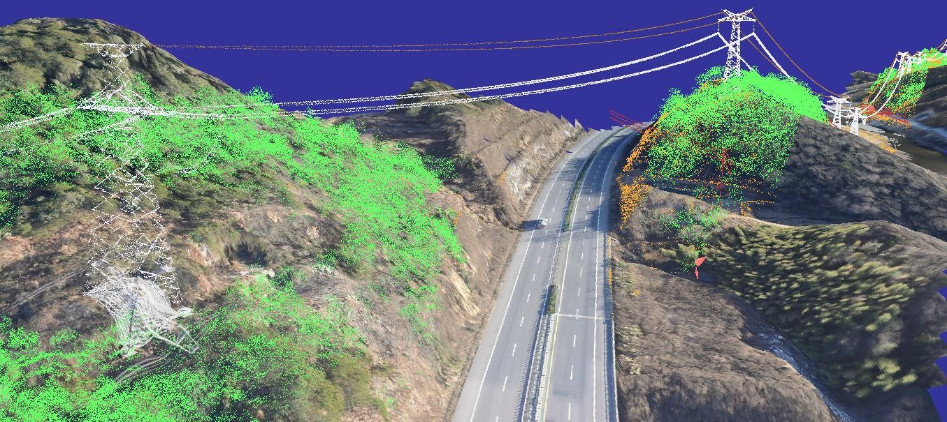
High-definition images of the target and relative position information can be acquired concurrently, thereby satisfying the requirements of elevation measurement and visible-light multiculturalism. It finds applications in a variety of academic and practical domains, including high-precision topographic mapping and modeling, urban three-dimensional real-scenario reconstruction, intelligent mining, and precise geological disaster prevention.
Product Parameters
|
Product Parameters |
|
|
GSD |
0.5m/2m @ 500km orbit |
|
Spectral Bands |
PAN: 450 ~ 800 nm B1: 450 ~ 520 nm B2: 520 ~ 590 nm B3: 630 ~ 695 nm B4: 770 ~ 890 nm Or 1+8 bands |
|
Swath Width |
≥ 15km @ 500km orbit |
|
Static Modulation Transfer Function (MTF) |
Panchromatic ≥ 0.15 Multispectral ≥ 0.25 |
|
Signal-to-Noise Ratio (SNR) |
Typical: 48 dB |
|
Laser Ranging Type |
Full-Waveform Ranging |
|
Number of Laser Beams |
3 |
|
Laser Wavelength |
1064.4nm |
|
Distance Measurement Accuracy |
≤ 1m |
|
Laser Repetition Rate |
20 Hz |
|
Laser Ground Spot Size |
25 m |
|
Laser Ground Spot Spacing |
Along-Track Direction: 360 m Cross-Track Direction: 5 km |
|
Single-Pulse Laser Energy |
100 mJ |
|
Laser Echo Sampling Frequency |
1.2 GHz |
|
Data Rate |
7.04 Gbps |
|
Supply Voltage |
26 ~ 45V |
|
Communication Interface |
CAN2.0 |
|
Data Transmission Interface |
CXP/Blk2711 |
|
Size |
1000×1200×2000 mm |
|
Total Camera Weight |
≤ 180 kg |
|
Camera Service Life |
5 years (reliability: 0.92) |
* Specific specifications can be customized
Quick Links
Quick Links


